|

|
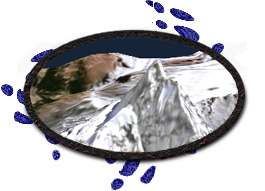
Fly around a 3D model of the Matterhorn.
|

|

Quick Start:
|
|
The image data was derived from aerial photos with 1 meter
resolution. Each texel on this demo represents 8m of real
world data.
|
|
|
|
Features: |
Industries: |
Hardware: |
|
MULTI-PROCESSING OPEN GL PERFORMER TEXTURE MAPPING |
GIS VISUAL SIMULATION |
HARDWARE TEXTURING |